فاس نيوز ميديا جريدة الكترونية جهوية تعنى بشؤون و أخبار جهة فاس مكناس – متجددة على مدار الساعة
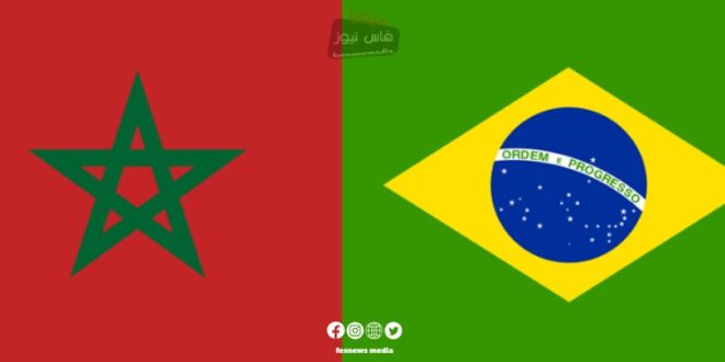
Diplomatic sources have revealed that Brazil, on the occasion of its annual presidency of the G20, has presented a world map that includes the complete geographical map of the Kingdom of Morocco, including its southern provinces.
The sources explained that this world map, prepared by the Brazilian Institute of Geography and Statistics (IBGE) and presented to President Luiz Inácio Lula da Silva, highlights the member countries of the G20, an economic forum comprising 19 countries plus the African Union and the European Union, which Brazil currently chairs on a rotating basis.
The map also highlights countries where Brazil has diplomatic representation, reflecting Brazil’s extensive presence around the world, especially in the African continent.
The Brazilian Institute of Geography and Statistics stated that “the production of this world map represents an opportunity for Brazil to affirm its unique position on the international stage, in line with its G20 presidency.”
It’s worth noting that last June, during the official visit of the Brazilian Foreign Minister to Morocco, the Federative Republic of Brazil praised the serious and credible efforts made by Morocco to move forward towards resolving the dispute over the Moroccan Sahara, within the framework of the autonomy initiative presented by the Kingdom in 2007.
In a joint statement, Brazil renewed its support for the United Nations’ efforts to reach a mutually acceptable political solution to the Moroccan Sahara issue, in accordance with relevant UN resolutions.
This latest development in displaying the complete map of Morocco is considered a positive step in Moroccan-Brazilian relations, and it strengthens the diplomatic position of the Kingdom of Morocco on the international stage.